
Geoscience Expertise & Advanced Spatial Analysis
Make better decisions with RMA Consulting
Experience and Expertise
for Reliable Information and Advice
RMA Consulting helps clients make confident, well-informed decisions by combining geoscience expertise with advanced spatial analysis. Our commitment to accuracy, proven methodologies, and value ensures every project is built on a foundation of reliable knowledge.
Robert Moroz
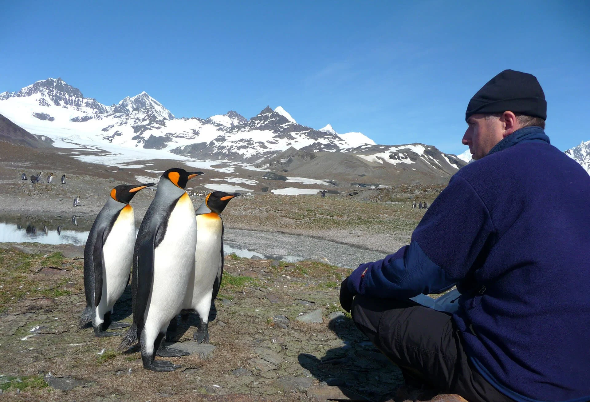
The Principal of RMA Consulting, Mr. Robert Moroz MSc. P.Geo, holds a Master of Science Degree in geology from Acadia University, and also has a degree in Geographic Information Systems (GIS) from the College of Geographic Sciences. For more than 25 years, he has worked in the natural resources sector in several capacities across Canada and internationally.
Recent Clients Include

Services
RMA Consulting provides a variety of Geoscience and Aerial Drone Imagery services to benefit various project types.
Geoscience
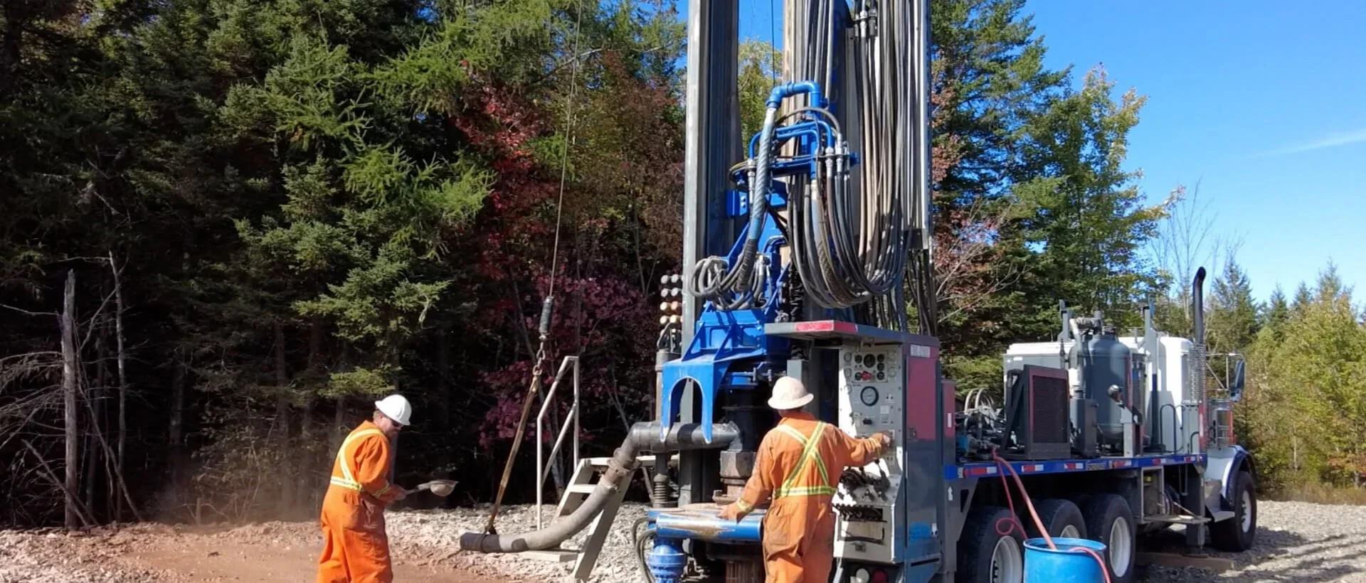
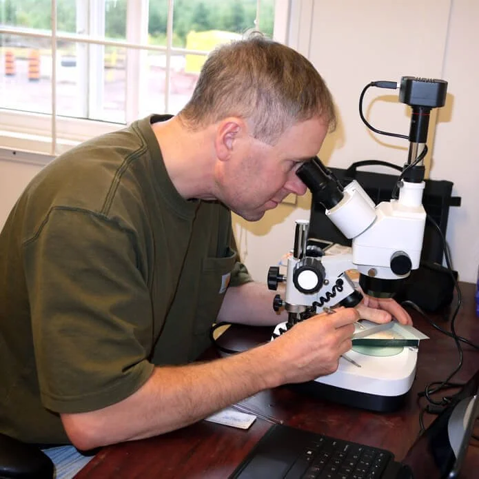
From prospecting to drilling, helping explorationists get the most knowledge and value from their samples. Through geochemistry analysis, petrography, ore microscopy, cross sections, mapping, establish the geological context.
RMA Consulting’s geoscientific investigations encompass a range of services aimed at advancing the understanding of natural resource projects, resource exploitation, and environmental protection studies. Specific expertise includes:
Surface mapping and sampling
Subsurface drilling and sampling
Sample composition and chemical analysis
Petrographic analysis
Data compilation and analysis using Geographic Information Systems (GIS)
Environmental assessment
Specific commodity sectors include base and precious metals, uranium, potash and industrial minerals.
Aerial Drone Imagery
Drone imagery for infrastructure inspection, building inspection, agriculture uses including crop health assessment - capture the detail of your study area not always available from Google Earth.
The use of aerial drones can greatly enhance the value of your project or site by providing rapid and accurate imagery. Applications include
Site mapping and documentation
Infrastructure inspection
Construction progress tracking
Agricultural assessments
Terrain modeling and volume assessments
Land use and environmental monitoring
Change detection and monitoring
We hold Transport Canada Advanced Remotely Piloted Aircraft System (RPAS) Certification, to be able to conduct drone flight operations in most Canadian airspace
How can RMA Consulting help you with your next project?
Robert Moroz at RMA Consulting has provided geoscience, mapping, and other related services for both private and public sector clients.
Contact us to discuss how your project could benefit from the services and expertise RMA Consulting can provide.